-
 Start on railway station of Baden
 -
 Baden
Baden -
 Baden
Baden -

Landvogteschloss - Baden Map -
 Baden
Baden -

Castle of Schartenfels Map -
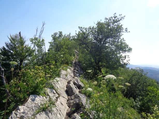
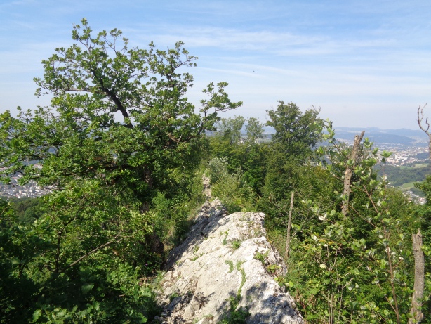
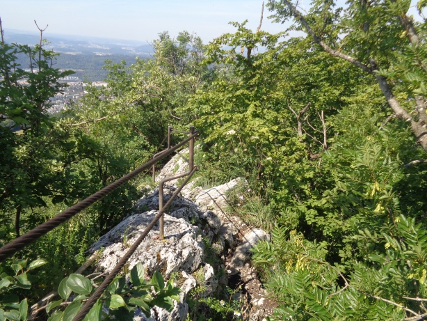
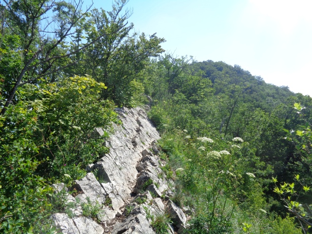
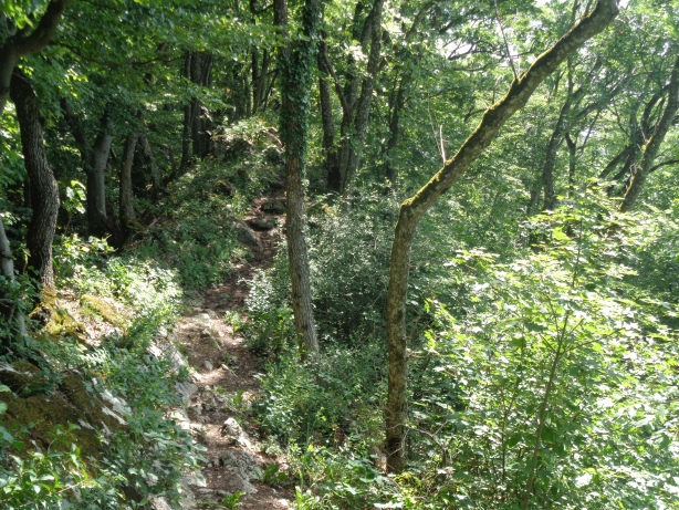
 Path in the ridge
 -
 Path in the ridge
 -
 Ennetbaden
 -

-

-
-
-
-
-
-
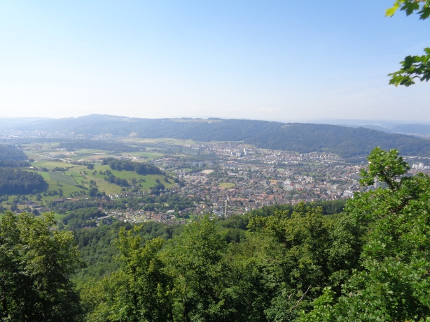
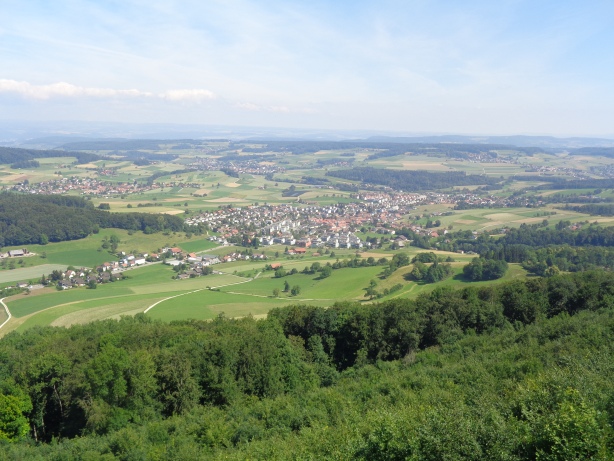
 Look to the north
 -
-
")
Lägern Burghorn (859m) Map -
") Lägern Burghorn (859m)
Lägern Burghorn (859m) -
 Look to the north
 -
-

Ruins of Lägern Map -

Tower of Skyguide Map -
 Tower of Skyguide
 -

Hochwacht Lägern Map -

Skyguide Lägern Radar Map -
 Lake Zurich in the background
 -
 Regensberg
 -
 Regensberg